Three of the most commonly confused documents in residential and commercial permitting are the site plan, the property survey, and the plot plan. Building departments use the terms differently. Homeowners often use them interchangeably. And the wrong document can delay your permit.
I’m Engineer Wasim. Let me clear this up directly.
What Is a Site Plan?
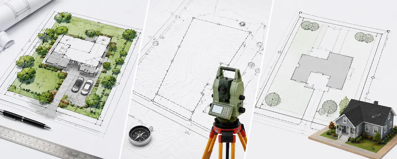
A site plan is a scaled, overhead drawing of your property showing existing structures and proposed work. It’s the document that most building departments ask for when you apply for a permit.
A site plan is prepared by a drafter or engineer and shows:
- Property boundaries with dimensions
- Existing house, garage, shed, pool, and all other structures
- Proposed project location with setbacks labeled
- Scale, north arrow, title block, and required notes
A site plan does not require a licensed surveyor to prepare, unless your jurisdiction specifically states otherwise. For most residential permits, a site plan prepared from GIS data and parcel records is sufficient.
This is what we prepare at Site Plans Online USA.
What Is a Property Survey?
A property survey is a legal document prepared by a licensed land surveyor that certifies the exact location of your property boundaries.
A survey typically shows:
- Exact boundary line locations with legal measurements
- Corners of the property with survey pins
- Recorded easements
- Flood zone notation (in some survey types)
- Surveyor’s stamp, license number, and signature
A survey is a legal certification. The surveyor is legally certifying boundary locations. This is why surveys are required for real estate transactions, boundary disputes, and certain permit types in certain jurisdictions.
A survey is not the same as a site plan. A survey establishes and certifies the boundaries. A site plan shows what’s on the property relative to those boundaries.
Do you need a survey for a site plan? Not for most residential permits. We can prepare a site plan from GIS parcel data for most projects. If you have a survey, we incorporate it — and it improves accuracy. But for a pool permit, fence permit, or shed permit in most cities, a licensed survey is not required.
Read more: Do You Need a Survey for a Site Plan?
What Is a Plot Plan?
A plot plan is, in most contexts, exactly the same document as a site plan. The terms are used interchangeably by different building departments across the United States.
If your permit application says “submit a plot plan,” they want a scaled property drawing showing your project location. That’s a site plan under a different name.
The only distinction worth noting: in some older or rural jurisdictions, “plot plan” may refer to a simpler sketch showing the property outline and approximate project location. But in most current permit applications, plot plan = site plan.
Which One Does Your Permit Office Need?
Here’s how to read your permit application:
| What they ask for | What you need |
|---|---|
| “Site plan” | Scaled property drawing — we prepare this |
| “Plot plan” | Same as site plan — we prepare this |
| “Survey” or “surveyor-prepared plan” | Licensed surveyor required |
| “PE-stamped plan” or “engineer-sealed” | Licensed PE required — see our PE Stamp service |
| “As-built survey” | Licensed surveyor — documents what was actually built |
| “Elevation certificate” | Licensed surveyor or engineer — for FEMA flood zones |
When Does a Survey Become Necessary?
A licensed survey is specifically required when:
- Your building department or permit checklist explicitly states “surveyor-prepared” or “certified survey”
- You’re purchasing or selling property and need boundary certification
- There’s a boundary dispute with a neighbor
- You’re in a coastal zone requiring precise elevation data
- You’re applying for an elevation certificate in a FEMA flood zone
For everything else — pools, fences, sheds, decks, additions, ADUs, driveways a professionally prepared site plan from GIS data is what the building department needs.
Can a Site Plan Replace a Survey?
For permit purposes, yes — in most cases a professionally prepared site plan is sufficient. For legal purposes (boundary disputes, real estate transactions, title insurance), a survey is needed and a site plan is not a substitute.
Not sure which you need? Send us your permit comments and we’ll confirm within a few hours.
Read these tools before ordering
- Site Plan for Permit — Complete Guide
- Site Plan Requirements for Building Permits
- Non-Certified Site Plans for Permits
Take the Next Step With Confidence
Avoid unnecessary delays and prepare for your permit application with greater confidence. Use our free tools to review your project and understand the next steps before moving forward.
ADU Feasibility Checker
Check whether your property may be suitable for an accessory dwelling unit.
Check ADU Feasibility 02Site Plan Checker
Review your drawing for common missing details and potential submission issues.
Review Your Site Plan 03Permit Requirements Checker
Identify the likely permit requirements for your location and project type.
Check Requirements 04Site Plan Cost Calculator
Get a quick site plan cost estimate based on your project requirements.
Calculate Your CostGet Your Permit Drawing Scope Reviewed
Send us the property address and project details. We’ll help identify the likely drawing scope and next step.

Engineer Wasim
Civil/Structural Engineer and founder behind Site Plans Online USA. His permit-drafting experience dates back to 2015, supporting residential, commercial, structural and site-development projects.
Learn More About Site Plans LLC →