
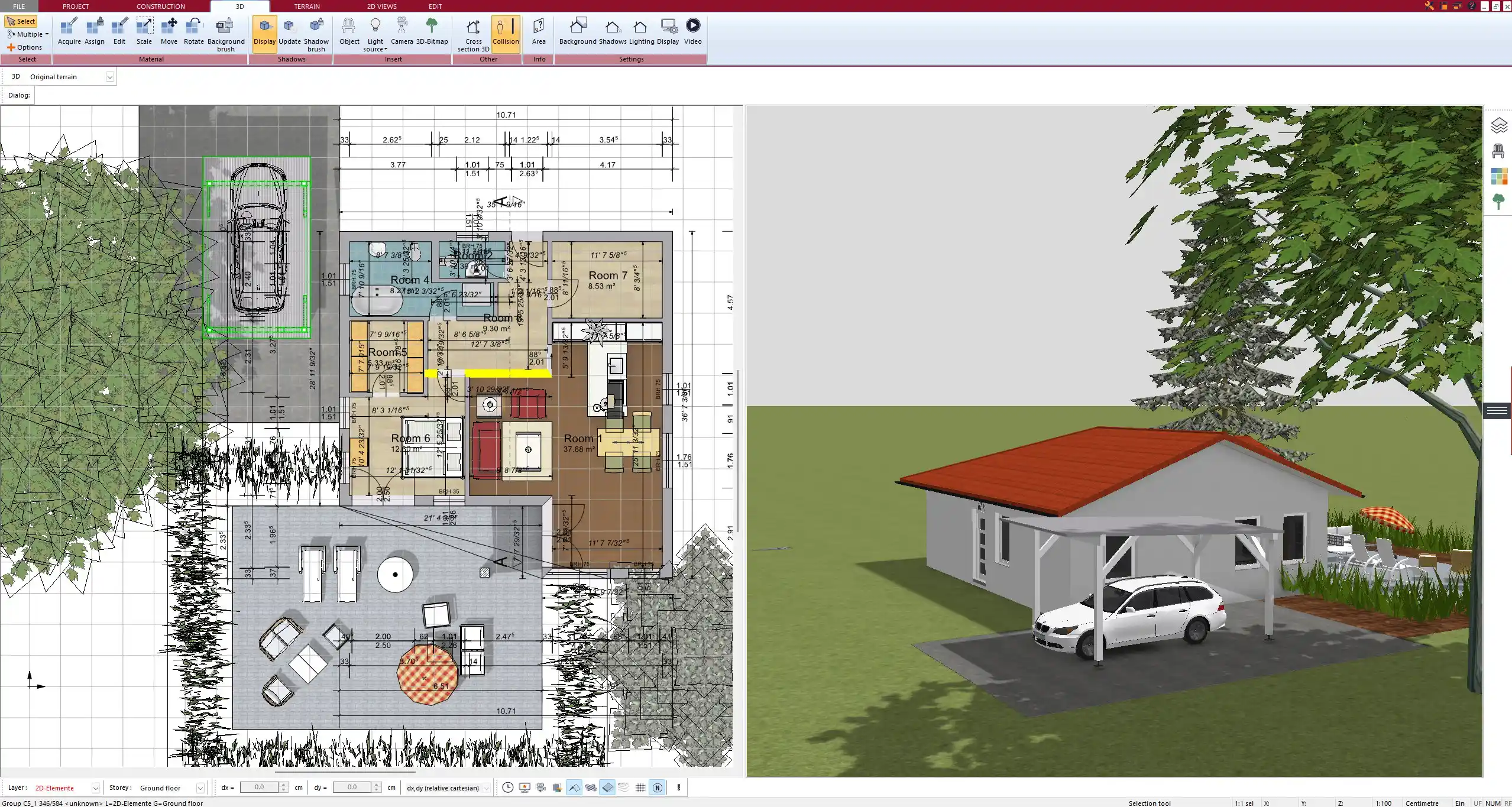
There is a difference between a drawing and a permit-ready drawing. Building departments across the United States evaluate permit applications against a specific checklist — and if anything on that checklist is missing, the application is returned.
I’m Engineer Wasim of Site Plans Online USA. My team has prepared site plans for building permits in hundreds of cities across all 50 states. This is the complete, practical guide to what building departments actually require.
Why Drawing Requirements Exist
When a building department reviews a permit application, they need to answer specific questions: Is the proposed project far enough from the property lines? Does the total hard surface coverage stay within the limit? Are all existing structures accounted for? Are utilities and easements clear?
A site plan that can’t answer these questions — because elements are missing, dimensions are unlabeled, or scale is wrong — gets returned. The project doesn’t get approved. Work doesn’t start.
Understanding what’s required before you submit saves weeks.
Universal Drawing Requirements — Every Project, Every State
These elements are required by every building department in the United States on every permit site plan:
Property Identification
- Property boundaries with dimensions — all lot lines measured in feet
- Legal description — must match county records exactly (pull from property appraiser site)
- Parcel ID / APN / Folio number — your county’s parcel identification number
- Full property address — including street number, name, city, zip
- Adjacent street names — all streets bordering the property
Drawing Standards
- Scale — stated in text (e.g., 1″=20′) AND shown as a graphic scale bar
- North arrow — labeled “N” or “North,” clearly visible
- All lines legible — when printed at standard permit plan size (usually 11″×17″ or 24″×36″)
Title Block
Must include: property address · parcel ID · owner name · preparer name · preparer license number if required · date prepared · revision history
Existing Conditions
- All existing structures — house, garage, shed, pool, patio, driveway, fences, all hard surfaces — every single one, with dimensions
- Easements — drainage, utility, access easements shown and labeled
- Existing setback lines if visible from zoning code
Proposed Work
- Proposed structure labeled “PROPOSED” — visually distinct from existing conditions
- Dimensions of proposed structure — length and width
- All four setback dimensions — front, rear, left side, right side — measured from property line to proposed structure, labeled in feet
Project-Specific Requirements
Pool and Spa Permits
Beyond the universal list, pool permits require:
- Pool and spa dimensions with water edge location clearly shown
- All setbacks measured from water edge (not pool deck) to property lines and house foundation
- Safety barrier location — typically required around all residential pools in the US
- Gate details — location, self-closing and self-latching notation
- Equipment pad location and dimensions
- Impervious surface calculation — existing hard surfaces + pool deck vs. maximum allowed
- Florida-specific: Barrier height minimum 48 inches per F.S. 515.29; gate must swing outward; latch at 54-inch height; Pool Barrier Affidavit required by many FL counties
Fence Permits
- Fence line location shown on lot with dimension to property lines
- Fence height labeled (typically 4 ft front yard, 6 ft rear/side in most US jurisdictions)
- Gate locations marked
- Corner lot sight triangle if applicable (usually 25 ft from corner, max 30″ fence height)
- If fence serves as pool barrier — must meet pool barrier standards
Shed and Accessory Structure Permits
- Shed dimensions (length × width)
- Distance from all property lines
- Distance from main house (typically 10 ft minimum fire separation)
- Foundation type noted (slab, blocks, skids)
- Florida: Pre-fab sheds require Florida DCA approval — Plan Tracking # from floridabuilding.org must be in application
- Coastal states: Wind speed compliance notation, anchoring details
Deck and Patio Permits
- Deck dimensions and height above grade
- Attachment to house shown
- All setbacks from property lines
- Impervious surface impact calculation
Home Addition Permits
- Addition dimensions
- Connection point to existing house
- All setbacks from property lines
- Impervious surface calculation
ADU Permits
- ADU location and dimensions
- All setbacks (ADU setbacks often differ from principal structure setbacks)
- Parking space location and dimensions
- Utility connections (water, sewer/septic, electrical)
- Lot coverage calculation
Commercial Permits
- Complete parking layout with space count and dimensions
- ADA accessible spaces (count, location, dimensions, access aisles)
- Ingress/egress access points
- Fire lane access
- Pedestrian access route to entrance
- Drainage notes
- PE review may be required depending on jurisdiction, scope, and drawing discipline
Impervious Surface Calculation — Required for Most Permits
Many cities and counties limit the percentage of a lot that can be covered with hard surfaces (also called impervious surface or lot coverage). This limit is typically 50–65% for residential zones, though it varies significantly.
How to calculate:
- Measure all existing hard surfaces: house footprint, garage, driveways, patios, walks, existing pool deck
- Add proposed new hard surfaces: new pool deck, addition footprint, expanded driveway
- Add everything together
- Divide by total lot area
- Express as a percentage
- Compare to your zoning district’s maximum
Show this math on the plan. Format example: “Lot Area: 8,500 sq ft | Existing Coverage: 2,800 sq ft | Proposed New: 850 sq ft | Total: 3,650 sq ft | Coverage: 43% | Max Allowed: 60%”
How Our Plans Meet Every Requirement
Every site plan prepared by Site Plans Online USA includes:
- County-specific setback research from your actual zoning district
- GIS-verified property boundaries
- All required elements for your specific permit type
- Correct scale and formatting for your building department’s portal
- Free revisions if the building department requests corrections
FAQ
What scale should a residential permit site plan be? Standard residential scale in most US jurisdictions is 1 inch = 20 feet. Some jurisdictions require 1″=10′ for small lots or permit plans showing detailed additions.
Can I submit a site plan that says “not to scale”? No. Plans labeled “not to scale” are commonly rejected by US building departments. The scale must be stated and the drawing must actually be drawn to that scale.
What if I’m missing a survey and don’t know my exact property dimensions? We use GIS parcel data to establish your property dimensions. For most residential permits, GIS data is sufficient. If your jurisdiction requires a licensed survey, they will state that in the application.
How do I know the setback requirements for my property? Setbacks are set by zoning district, not just city. Contact us with your address and project type.
Related reading:
- Site Plan for Permit — Complete Guide
- Why Site Plans Get Rejected
- Construction Site Plan Checklist
- Site Plan Requirements for Building Permits
- Florida Permit Requirements
Ready to get your permit-ready site plan? Get My Site Plan | View Services
Take the Next Step With Confidence
Avoid unnecessary delays and prepare for your permit application with greater confidence. Use our free tools to review your project and understand the next steps before moving forward.
ADU Feasibility Checker
Check whether your property may be suitable for an accessory dwelling unit.
Check ADU Feasibility 02Site Plan Checker
Review your drawing for common missing details and potential submission issues.
Review Your Site Plan 03Permit Requirements Checker
Identify the likely permit requirements for your location and project type.
Check Requirements 04Site Plan Cost Calculator
Get a quick site plan cost estimate based on your project requirements.
Calculate Your Cost